Table of Contents
Overview of Big Sur California
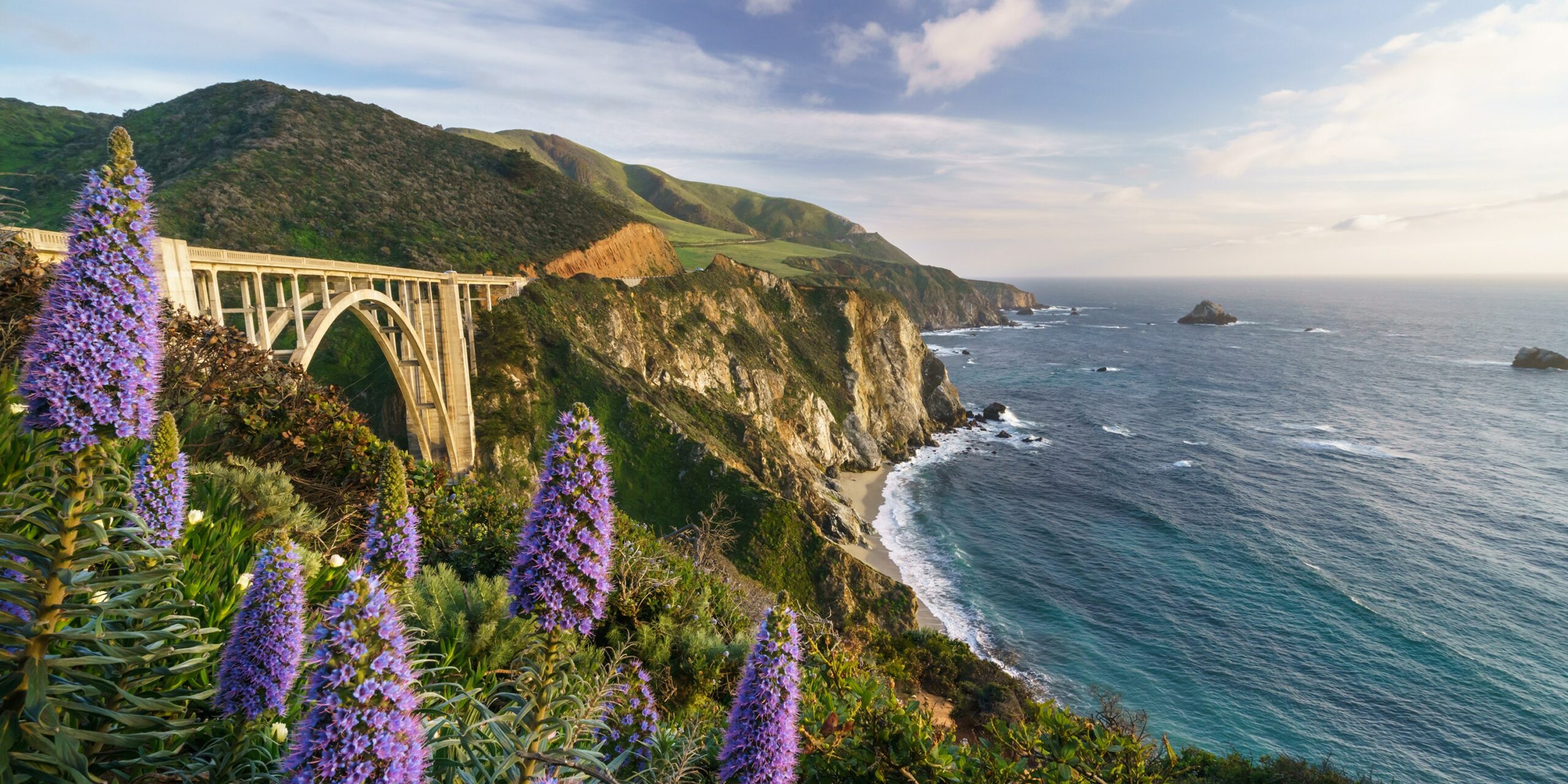
Big Sur California is a rugged and mountainous section of the Central Coast of the U.S. state of California, between Carmel and San Simeon, where the Santa Lucia Mountains rise abruptly from the Pacific Ocean. It is frequently praised for its dramatic scenery.
Big Sur has been called the “longest and most scenic stretch of undeveloped coastline in the contiguous United States”, a sublime “national treasure that demands extraordinary procedures to protect it from development”, and “one of the most beautiful coastlines anywhere in the world, an isolated stretch of road, mythic in reputation”. The views, redwood forests, hiking, beaches, and other recreational opportunities have made Big Sur a popular destination for visitors from across the world. With 4.5 to 7 million visitors annually, it is among the top tourist destinations in the United States, comparable to Yosemite National Park, but with considerably fewer services, and less parking, roads, and related infrastructure.
Big Sur Village is a collection of small roadside businesses and homes: 2 The larger region known as Big Sur does not have specific boundaries but is generally considered to include the 71-mile (114 km) segment of California State Route 1 between Malpaso Creek near Carmel Highlands in the north and San Carpóforo Creek near San Simeon in the south, as well as the entire Santa Lucia range between these creeks.[10] The interior region is mostly uninhabited, while the coast remains relatively isolated and sparsely populated, with between 1,800 and 2,000 year-round residents and relatively few visitor accommodations scattered among four small settlements.
The region remained one of the most inaccessible areas of California and the entire United States until, after 18 years of construction, the Carmel–San Simeon Highway (now signed as part of State Route 1) was completed in 1937. Along with the ocean views, this winding, narrow road, often cut into the face of towering seaside cliffs, dominates the visitor’s experience of Big Sur. The highway has been closed more than 55 times by landslides, and in May 2017, a 2,000,000-cubic-foot (57,000 m3) slide blocked the highway at Mud Creek, north of Salmon Creek near the San Luis Obispo County line, to just south of Gorda. The road was reopened on July 18, 2018.
Some Facts About Big Sur California
- Big Sur California is about 150 miles south of San Francisco and 300 miles north of Los Angeles on Scenic Highway One.
- Big Sur got its name from the undiscovered and unmapped wilderness area that runs along the coast south of Monterey. It was known as El Sur Grande or The Big South.
- Highway One runs the length of the state, with the picturesque Santa Lucia Mountains on one side and the rugged Pacific Coast on the other.
- The Spanish first occupied Big Sur in the 1830s, but its first significant communities were established during the Gold Rush.
- It was initially inhabited by the Esselen, Salinan, and Ohlone Native Americans. Despite the difficult access, the lumber industry prospered in Big Sur in the late 1800s.
- Although two Mexican land grants were granted in the 1830s that comprised much of the territory north of the Big Sur Valley, neither grantee settled on the land.
- The first permanent settlers came to Big Sur just over a century ago. Other hardy persons followed and staked down their homesteads in the following decades.
- Many early immigrants’ names bear Mt. Manuel, Pfeiffer Ridge, Post Summit, Cooper Point, Dani Ridge, Partington Cove, and other locations. Some of their descendants still live in Big Sur.
- At the beginning of the century, Big Sur had a more significant population than today. A thriving redwood lumbering sector employed many people.
- The Old Coast Route, the only link between homesteads, was little more than a wagon trail. Steamers brought heavy goods and supplies and docked at Notley’s Landing, Partington Cove, and the Little Sur River mouth.
- Because navigation was dangerous, the Point Sur Lighthouse Station began sending its powerful beam to safeguard ships from the risks of the shoreline in 1889.
- Big Sur’s population was more extensive than it is today.
- Highway One’s construction in the 1930s altered Big Sur, making its magnificence accessible to all rather than just the most daring.
- The current roadway was completed in 1937 at a high cost, after eighteen years of building, even with the assistance of convict labor.
- Since being designated as California‘s first Scenic Highway, it has provided an unparalleled driving experience in natural beauty and scenic variation.
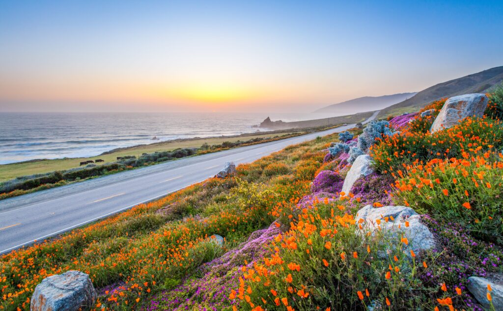
- Electricity did not come to Big Sur until the early 1950s, and it still does not reach the entire length of the coast or into the more remote mountainous sections.
- The Pacific Ocean’s proximity ensures a mild climate. Winters are pleasant, with rainy days interspersed by bright sunshine. The various streams that pour down the redwood-lined gorges are fed by an average rainfall of more than 50 inches.
- Summer mornings are cooled by coastal fog, which usually lifts by early afternoon. The most excellent weather is generally found in the spring and fall.
- Packing for Big Sur should include both warm and cold weather gear. A rainy, foggy morning can give way to a warm afternoon.
- Temperatures are more extreme in the Wilderness Area’s inner valleys; the fog bank rarely reaches the coastal ridge. Therefore the days are likely to be scorching and the nights frigid.
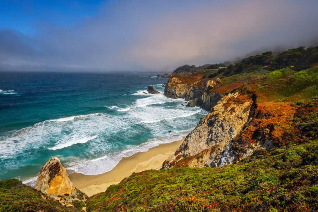
- The natural grandeur of the coast, which emerges from the towering geological features, rich vegetation, and dramatic meeting of land and sea, is the area’s most important draw for visitors. Big Sur has a worldwide reputation for its breathtaking beauty. Hiking, backpacking, and scenic drives are among its popular activities.
For Some More Great Information About Big Sur California – Follow this Link…
5 Amazing Things to Do in Big Sur | Visit California
To Learn More about Beautiful America – Follow This Link….
America The Beautiful, July 31st – (americathebeautifulday.net)
